Send the listing
Share the address, site plan, key features and your marketing deadline.
HIGHFRAME / PROPERTY & LAND
Show buyers the property, the plot and the wider setting. Aerial photography and video for estate agents, land agents and property owners.
From £199
Pricing varies with location, shoot time, editing requirements and project scope.AT A GLANCE
Give buyers a clear view of the home, grounds, access and surrounding area. We create aerial photographs and smooth video for property and land listings, with boundary overlays where useful. For larger sites, an interactive Land & Property Explorer adds a place buyers can explore online.
01 / PROPERTY MARKETING
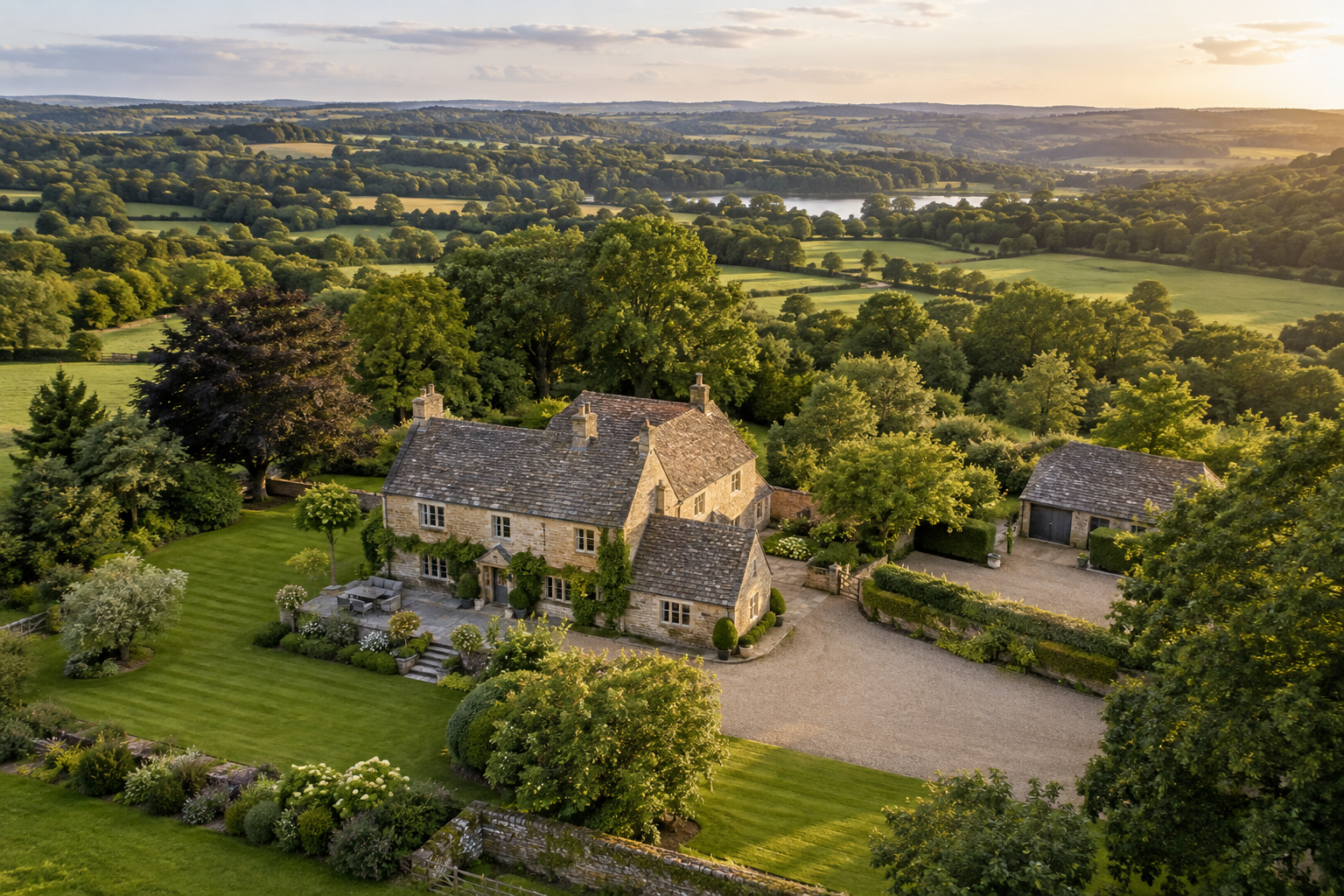
An aerial view shows how the building sits within its plot: gardens, outbuildings, approach and surrounding landscape. We plan the shoot around the features you want buyers to notice, then deliver edited images and video ready for listings, sales particulars and social channels.
Share the address, site plan, key features and your marketing deadline.
Choose photographs, boundary overlays, video or an interactive capture.
We arrange the visit around access, weather and the views your listing needs.
Edited files are delivered in the agreed formats, ready for your marketing team.
02 / LAND & DEVELOPMENT LISTINGS
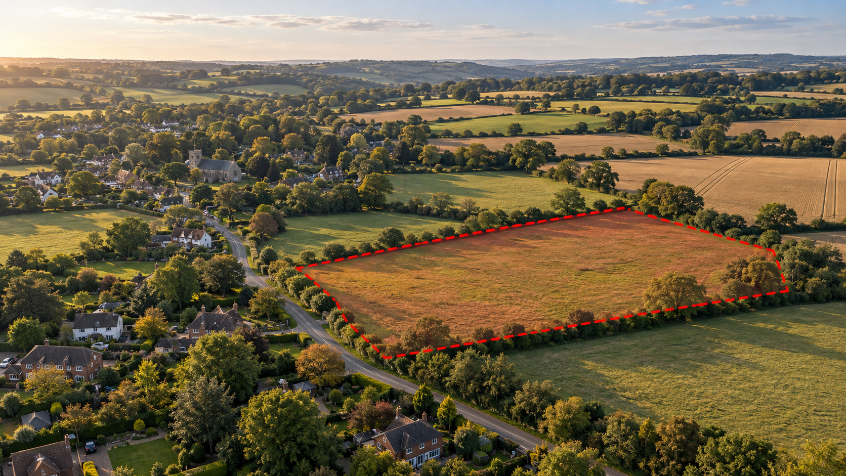
Show the land, visible access, road connections and neighbouring area in one clear view. Red boundary overlays help buyers identify the parcel being marketed, using the plan you supply. Wider and closer views give the listing both context and detail.
03 / LAND & PROPERTY EXPLORER
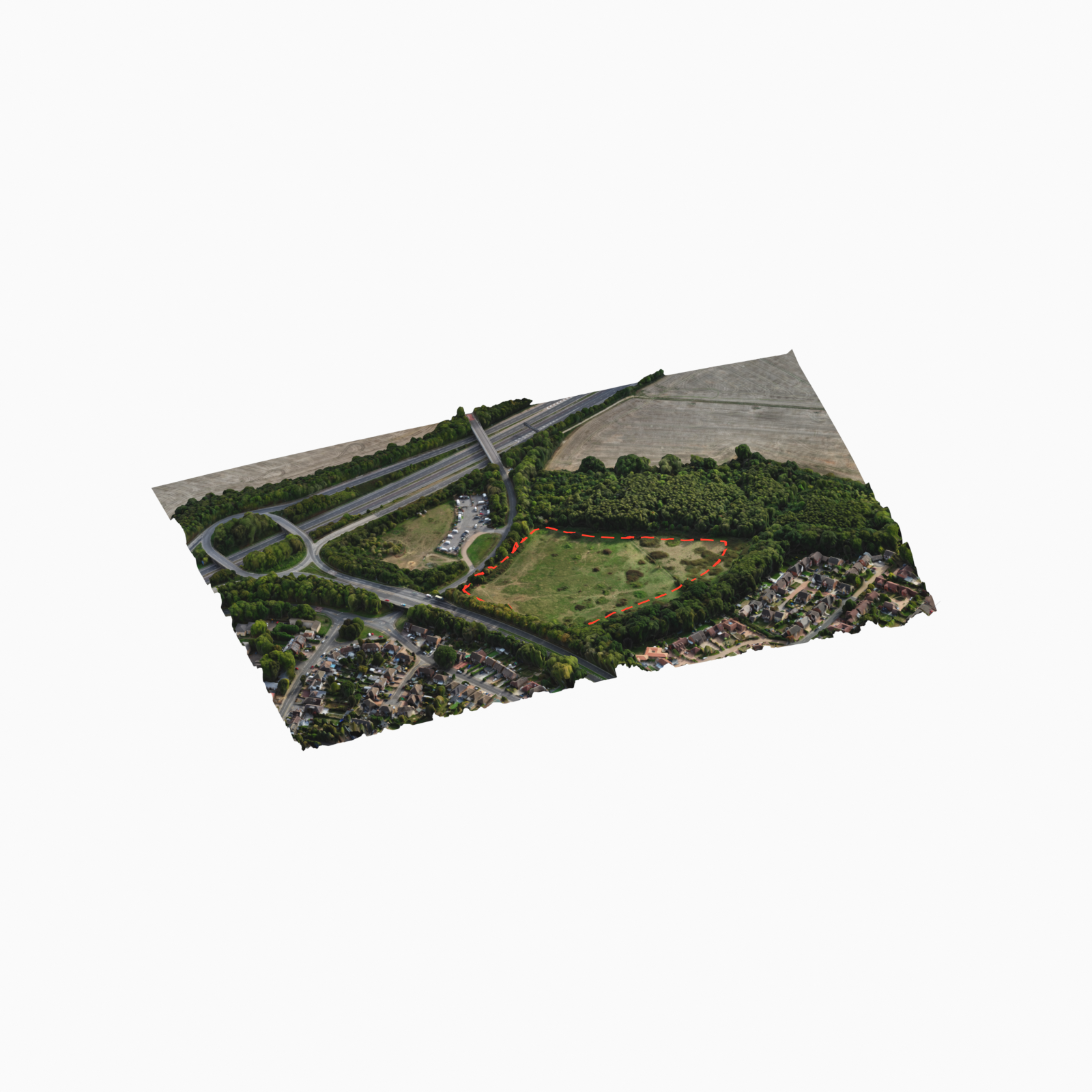
For a larger property, estate or land parcel, give buyers a place they can move around online. We capture the site in 3D and build the Land & Property Explorer with our own software, ready to link or embed in your listing.
WHAT YOU RECEIVE
Wide context and selected closer views for property portals, brochures, websites and social media.
Views of the parcel and surrounding area, with optional overlays from the boundary information you supply.
Add an aerial film or a photogrammetry model presented in the Highframe Viewer where it suits the listing.
FOR AGENTS & REPEAT CLIENTS
Send the address and a short brief. For regular shoots, ask about an ongoing arrangement that fits your agency’s listings and schedule.
Arrange a property shootHAVE A PROJECT IN MIND?