Tell us about the place
Agree the audience, coverage and information you want to include.

HIGHFRAME / OUR OWN ONLINE VIEWER
Your place, captured in 3D and made accessible online. Our own software lets people explore the landscape, buildings and details from wherever they are.
AT A GLANCE
We capture land, property and outdoor spaces in 3D, then build an interactive experience with our own Highframe software. Visitors can move around the place, zoom into the detail and discover useful information. Share your Explorer as a link or embed it in your website.
THE HIGHFRAME VIEWER
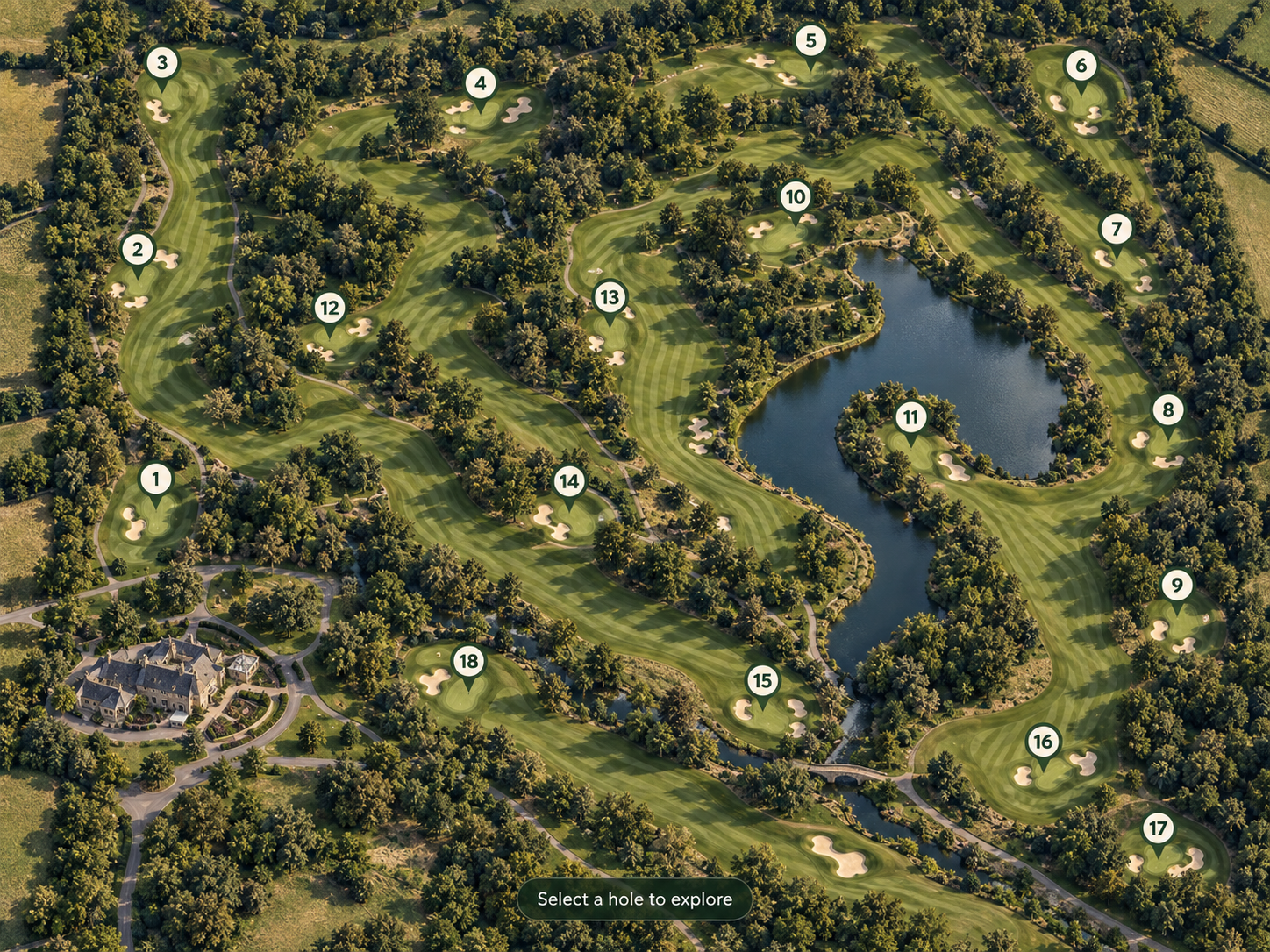
Our own Highframe Viewer turns your 3D scan into an online Explorer. We capture your land, property or outdoor space with our drones, build a detailed 3D model, and bring it online in our own software. Visitors can move around, zoom into the detail and discover key places before they arrive. Share it with a link or embed it on your website.
Agree the audience, coverage and information you want to include.
Plan a drone visit and create a detailed model of your site.
Set up our viewer around your place and points of interest.
Add the Explorer to your website or share it with a link.
MORE THAN ONE KIND OF PLACE
The place sets the brief. The viewer makes it accessible online.
Present the course layout, individual holes and useful information for players before they arrive.
Help buyers understand the buildings, land, visible access and surrounding setting.
Show facilities, routes and points of interest so visitors can get a feel for the place.
Give colleagues a way to revisit a dated 3D site capture and review its visible detail remotely.
HAVE A PROJECT IN MIND?